Urban intelligence library
Site analysis, explained.
Guides on data-backed site analysis, urban planning, feasibility, and tools for architects, planners, and developers.
38 articles
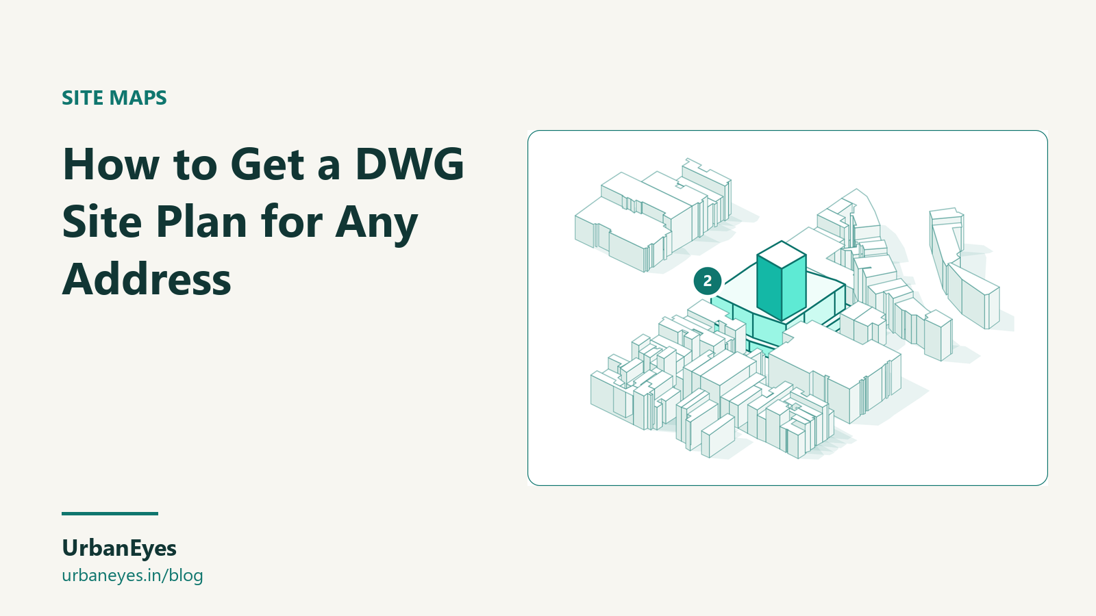
How to Get a DWG Site Plan for Any Address
Five ways to get a DWG or DXF site plan for any address, from official survey data to OpenStreetMap exports, with what each costs, how accurate it is and how to set it up in AutoCAD.
Open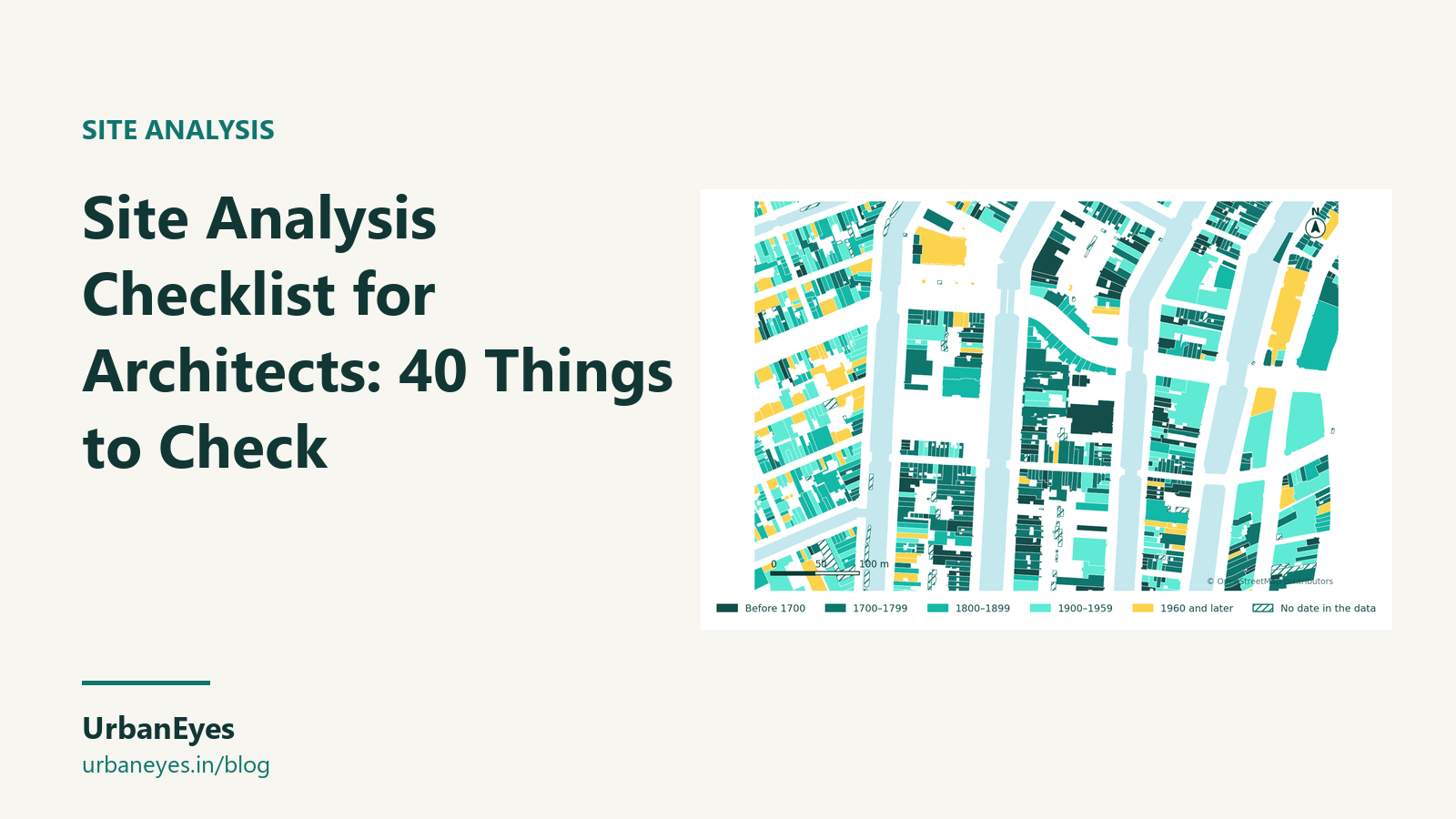 Site Analysis
OCT 21, 2026 · 9 min read
Site Analysis Checklist for Architects: 40 Things to Check
A 40-point site analysis checklist for architects, split into desk study and site visit, with what each check is for and where to find the data. Free, no email.
Open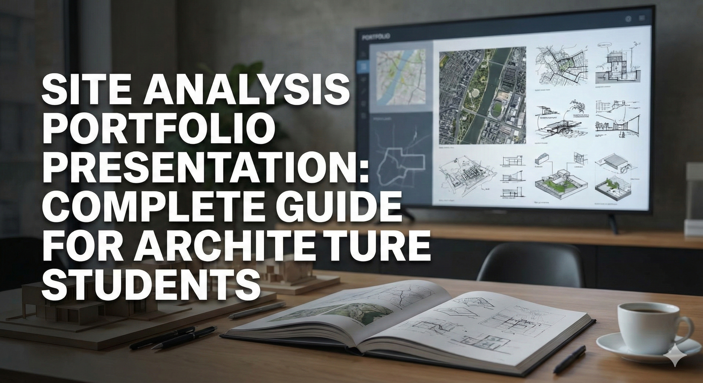 Guides
SEP 18, 2026 · 5 min read
How to Download Site Maps for Any Location Worldwide
Download site maps for any location worldwide in 2026 - pin any city, choose your context ring, export CAD and 3D formats, and start with UrbanEyes free tier.
OpenGuidesSEP 18, 2026 · 4 min read
How to Get 3D Site Models from Maps (GLB OBJ STL 3DM)
Learn how to get 3D site models from maps using GLB, OBJ, STL, and 3DM exports - workflows for Rhino, Blender, SketchUp, and UrbanEyes Site Maps in 2026.
OpenDiagramsSEP 18, 2026 · 5 min read
Topography and Tree Maps for Site Design
Topography and tree maps shape grading, drainage, shade, and open-space design. See 2026 workflows, layer tips, and exports from UrbanEyes Site Maps.
OpenGuidesSEP 17, 2026 · 5 min read
Site Maps Pricing: Pay As You Go vs Subscription
Site maps pricing in 2026: compare UrbanEyes pay-as-you-go rings vs Basic, Pro, and Pro+ subscriptions, free tier limits, and when each model saves money.
OpenGuidesSEP 17, 2026 · 4 min read
Building Footprint Maps for Architects: OSM to CAD in Minutes
Building footprint maps turn OSM and open geodata into CAD-ready site context. Learn a fast OSM-to-CAD workflow with UrbanEyes Site Maps in 2026.
OpenGuidesSEP 16, 2026 · 5 min read
Site Context Maps for Architecture Students (Free Workflow)
Architecture students can build site context maps for free in 2026 - ring exports, CAD and 3D files, board tips, and when to upgrade from UrbanEyes Site Maps.
OpenGuidesSEP 16, 2026 · 5 min read
How to Export Site Maps for Rhino, SketchUp, and AutoCAD
Learn how to export site maps for Rhino, SketchUp, and AutoCAD in 2026 - formats, import tips, layer cleanup, and a fast workflow with UrbanEyes Site Maps.
Open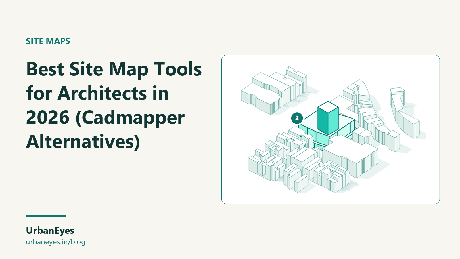 Maps
SEP 15, 2026 · 5 min read
Best Site Map Tools for Architects in 2026 (Cadmapper Alternatives)
A fair comparison of site map and CAD context tools in 2026: Cadmapper, TopoExport, Cityweft, Schwarzplan, PlaceMaker, SketchUp Add Location, BlenderGIS, QGIS and UrbanEyes Maps, by formats, data, free tier and price.
Open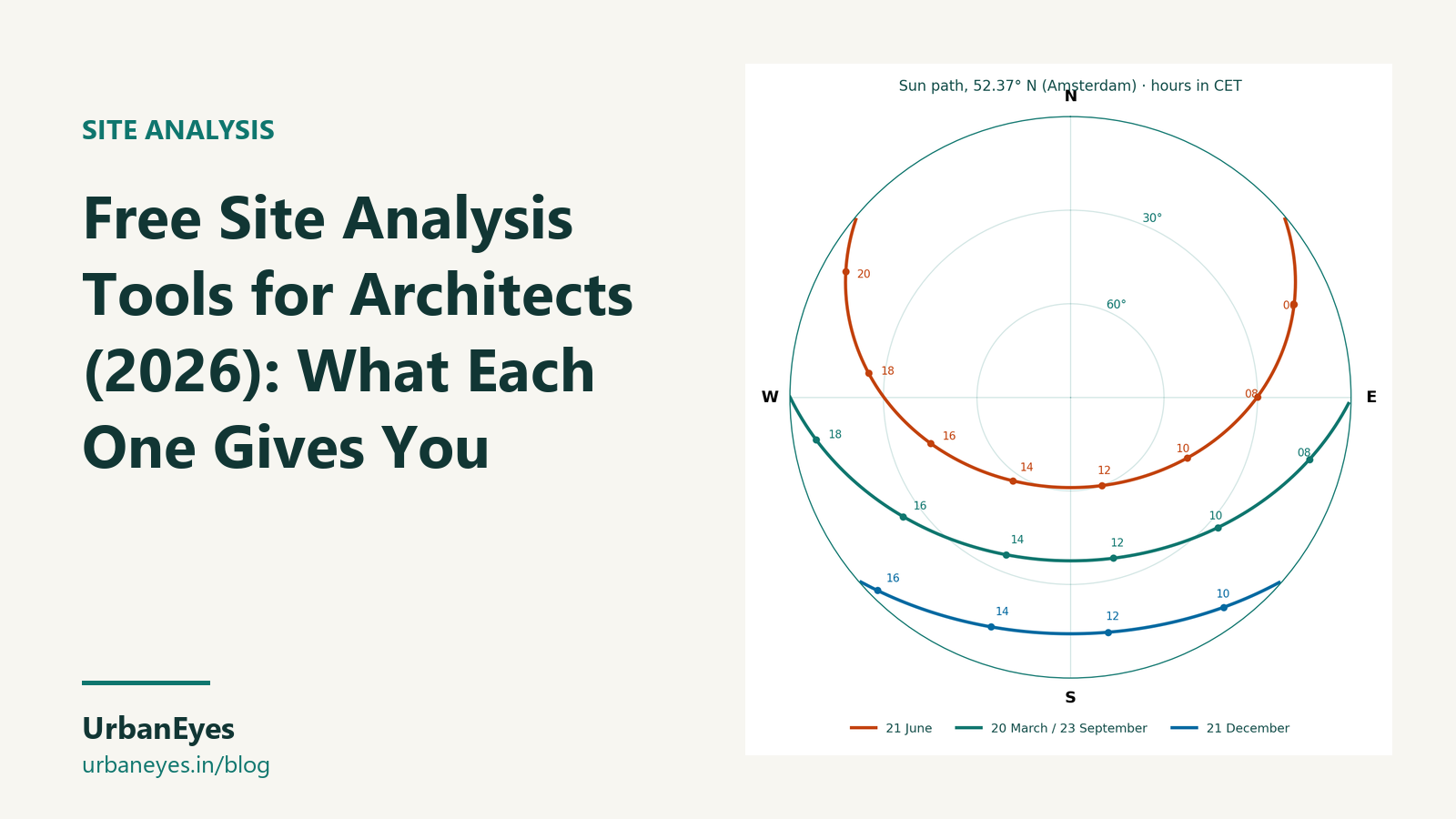 Site Analysis
AUG 3, 2026 · 5 min read
Free Site Analysis Tools for Architects (2026): What Each One Gives You
The free site analysis tools that actually export usable data in 2026: QGIS, Ladybug Tools, BlenderGIS, Shadowmap, Cadmapper, TopoExport, Open-Meteo, UrbanEyes and more, with each free tier's real limits.
Open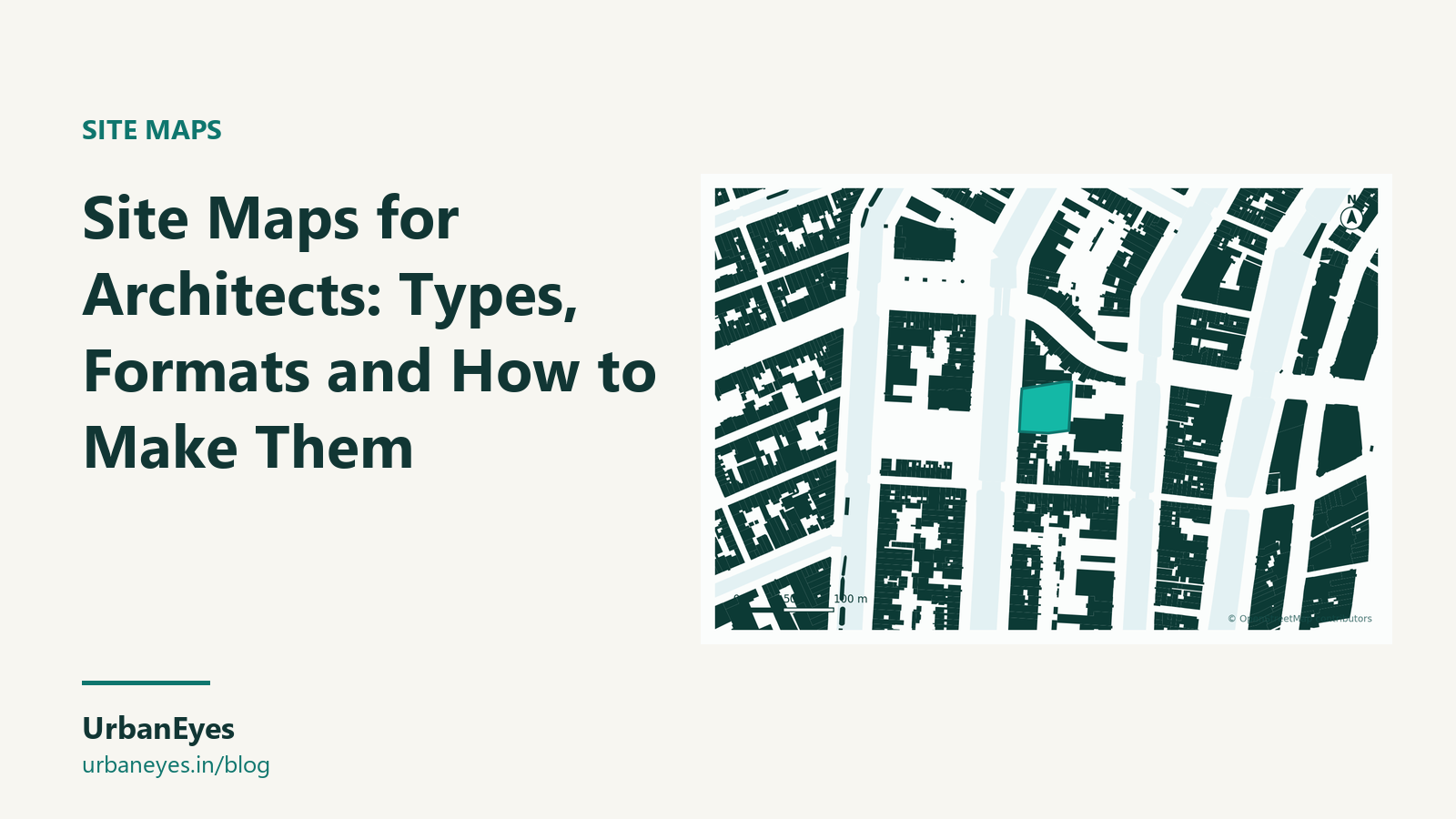 Maps
AUG 3, 2026 · 5 min read
Site Maps for Architects: Types, Formats and How to Make Them
Every site map an architect needs, from figure-ground to terrain, which file format to use in AutoCAD, Rhino, SketchUp, Revit, Illustrator, QGIS or a 3D printer, and how to make them for any address.
Open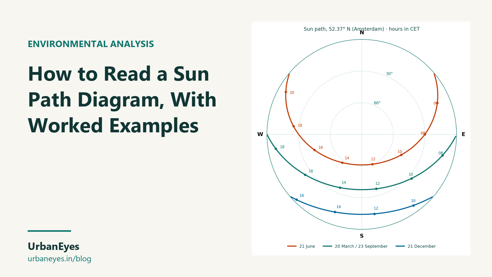 Guides
AUG 3, 2026 · 6 min read
How to Read a Sun Path Diagram, With Worked Examples
How to read a sun path diagram for site analysis: altitude, azimuth, solstices and shadows, with worked numbers for Singapore, Mumbai, Delhi, Dubai, London, Amsterdam and Oslo.
Open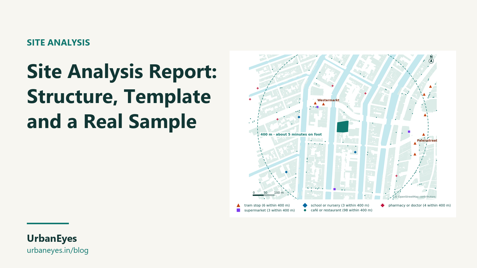 Site Analysis
AUG 3, 2026 · 9 min read
Site Analysis Report: Structure, Template and a Real Sample
How to structure a site analysis report, chapter by chapter, with real samples from an Amsterdam canal site and a Delhi plot: what goes in each section, how long it should be, and the mistakes that weaken it.
OpenGuidesAUG 3, 2026 · 11 min read
Why Architects Trust UrbanEyes Site Intelligence (2026)
Why architects trust UrbanEyes in 2026: 25k+ monthly users, 140 countries, 2M+ doc data bank, and citeable site intelligence - not empty marketing.
OpenGuidesAUG 3, 2026 · 10 min read
Data-Backed Site Analysis With Traceable Sources
Data-backed site analysis means metrics you can trace to sources - not opaque AI answers. How UrbanEyes maps findings to OSM, climate, and research.
OpenGuidesAUG 3, 2026 · 11 min read
UrbanEyes Is Urban Intelligence - Not Generative AI
UrbanEyes is an urban intelligence platform: data-backed site metrics, maps, and sims - not generative AI text. See how it differs from chatbots.
Open Diagrams
AUG 3, 2026 · 8 min read
Architectural Site Analysis Board: How to Present
Learn how to present an architectural site analysis board: layout, diagrams, hierarchy, and a clean 2026 workflow from site evidence to jury day.
OpenAI ToolsAUG 3, 2026 · 8 min read
Best Free AI Tools for Site Analysis Compared (2026)
Best free AI tools for site analysis compared for 2026: which free AI site analysis and site analysis maker AI options actually help architects most.
OpenAI ToolsAUG 3, 2026 · 8 min read
UrbanEyes vs Traditional GIS for Site Analysis
UrbanEyes vs traditional GIS for site analysis: compare speed, learning curve, cost, and which site analysis software fits architects best in 2026.
OpenSite AnalysisAUG 3, 2026 · 9 min read
Wind Analysis for Architecture Sites (2026 Guide)
Wind analysis for architecture sites maps prevailing winds, pedestrian comfort, and CFD workflows in this practical 2026 guide for architecture teams.
OpenSite AnalysisAUG 3, 2026 · 9 min read
Environmental & Microclimate Site Analysis for Architects
Environmental and microclimate site analysis maps heat, wind, and outdoor comfort so architects can design cooler, healthier buildings as of 2026.
OpenSite AnalysisAUG 3, 2026 · 8 min read
3D Site Analysis for Architects: Complete Guide
3D site analysis lets architects see massing, terrain, and environment in context before design. Learn methods, metrics, and 2026 digital workflows.
OpenFeasibilityAUG 3, 2026 · 9 min read
Site Feasibility Study for Architecture & Real Estate
A site feasibility study tests whether a plot can support your project before you design or buy. Use this 2026 process for architecture and real estate.
OpenUrban PlanningAUG 3, 2026 · 9 min read
Urban Planning Site Analysis: Methods & Tools (2026)
Urban planning site analysis methods and tools for 2026: run urban site analysis with metrics, maps, env sims, and clear policy-ready evidence packs.
OpenAI ToolsAUG 3, 2026 · 9 min read
AI Site Analysis for Architecture: Complete Guide (2026)
AI site analysis for architecture in 2026: how site analysis AI works, what it covers, honest limits, and how to run a full study in minutes fast.
OpenSite AnalysisAUG 3, 2026 · 11 min read
Site Analysis Online: Best Websites & Workflows (2026)
Site analysis online in 2026: compare the best site analysis websites and proven workflows - from browser tools to GIS - for faster studio results today.
Open Site Analysis
APR 28, 2026 · 12 min read
Environmental Site Analysis for Architects: Full Guide
How to run a complete environmental site analysis - solar, wind, noise, flood risk - in 15 minutes using AI. Step-by-step guide for architects in 2026.
Open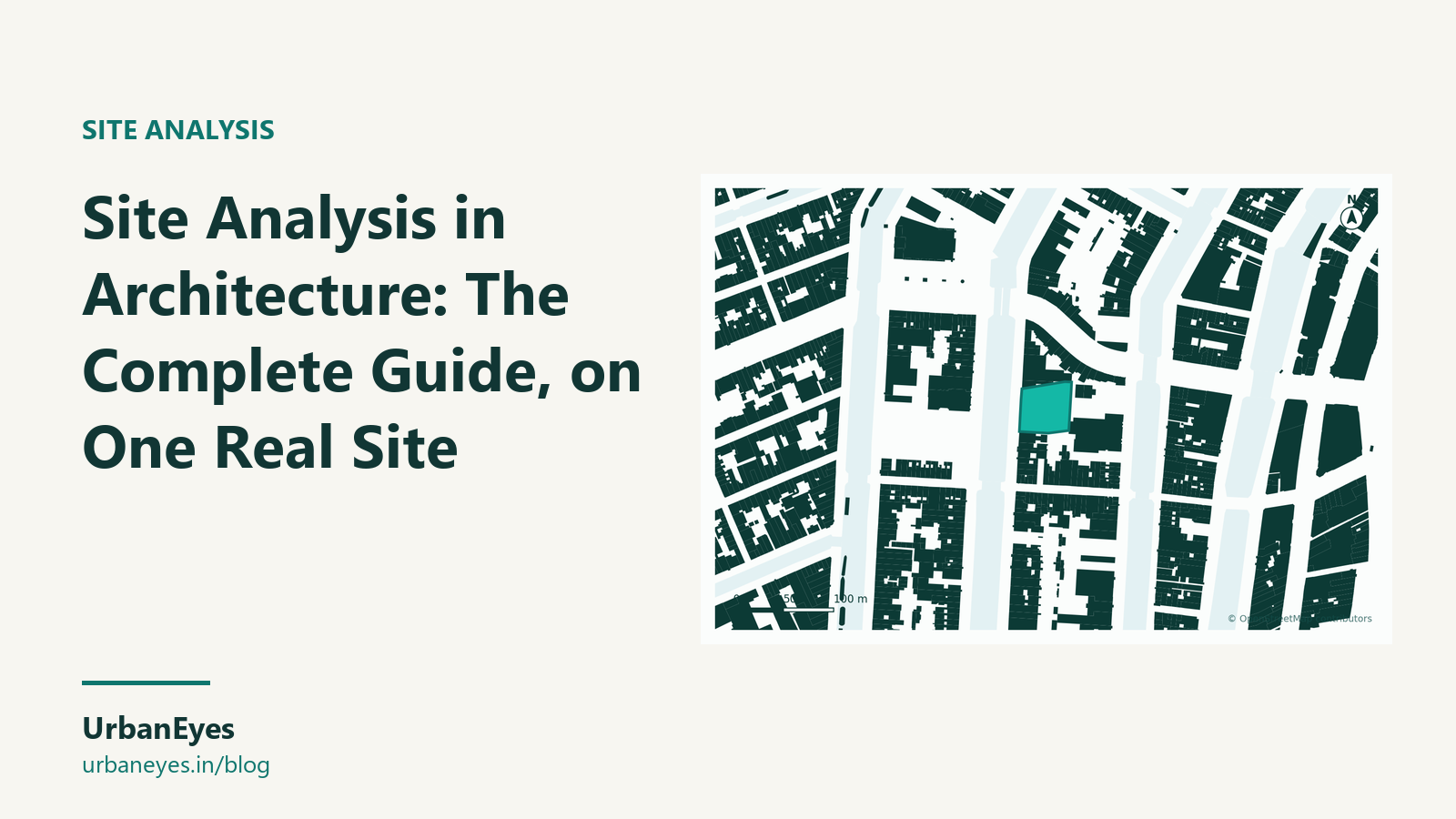 Site Analysis
APR 22, 2026 · 16 min read
Site Analysis in Architecture: The Complete Guide, on Two Real Sites
What site analysis is, what it covers and how to do it, worked through on two real sites, an Amsterdam canal block and a Delhi plotted block, with real data on buildings, heritage, access, sun, wind and rules.
Open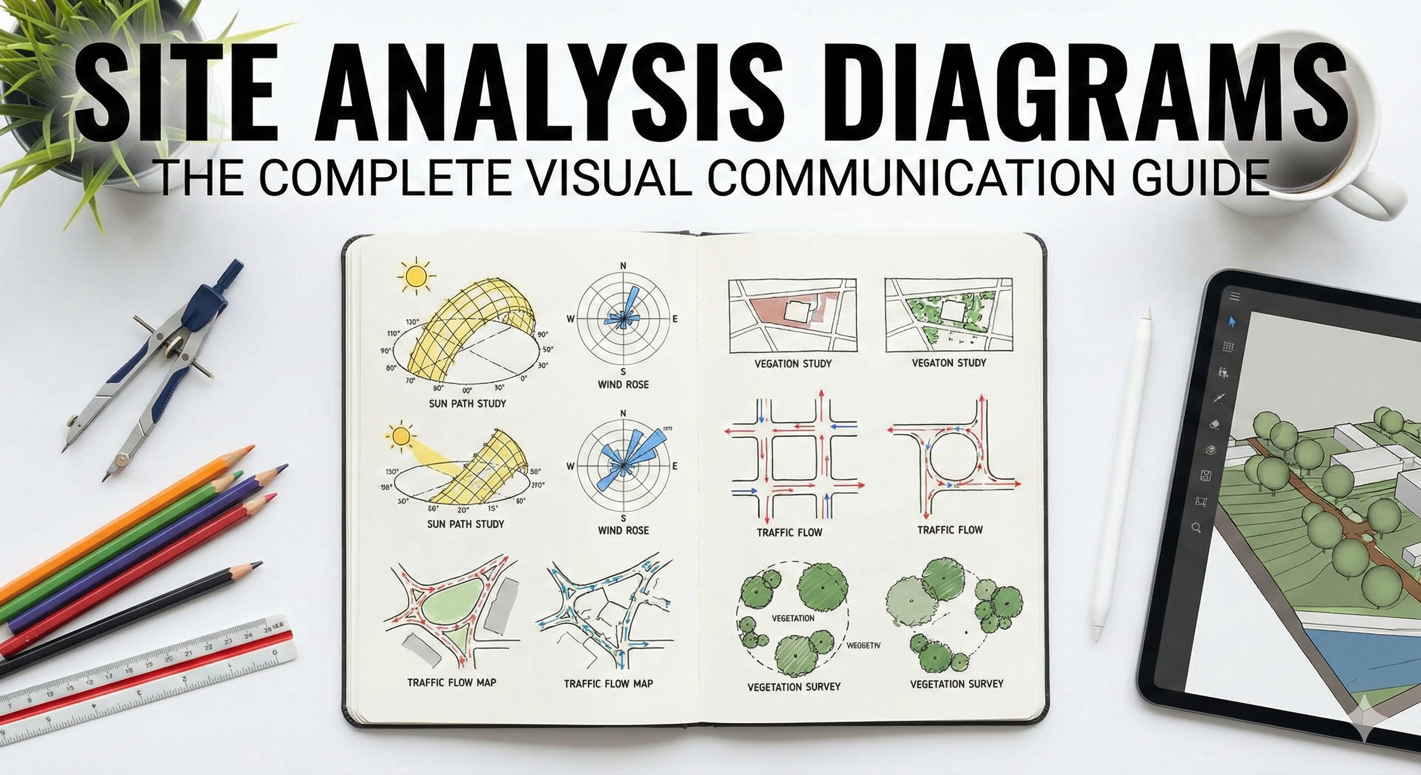 Diagrams
APR 15, 2026 · 17 min read
Site Analysis Diagrams: Types, Examples & How to Draw Them
Site analysis diagrams turn research into design decisions. Learn the essential diagram types, legends, and layout tips architects use for boards and reports.
Open Urban Planning
APR 8, 2026 · 15 min read
GIS Analysis for Architects: Complete Beginner's Guide 2026
A beginner's guide to GIS analysis for architects in 2026. How to read spatial data, run shadow and wind analysis, and use free tools without a GIS degree.
Open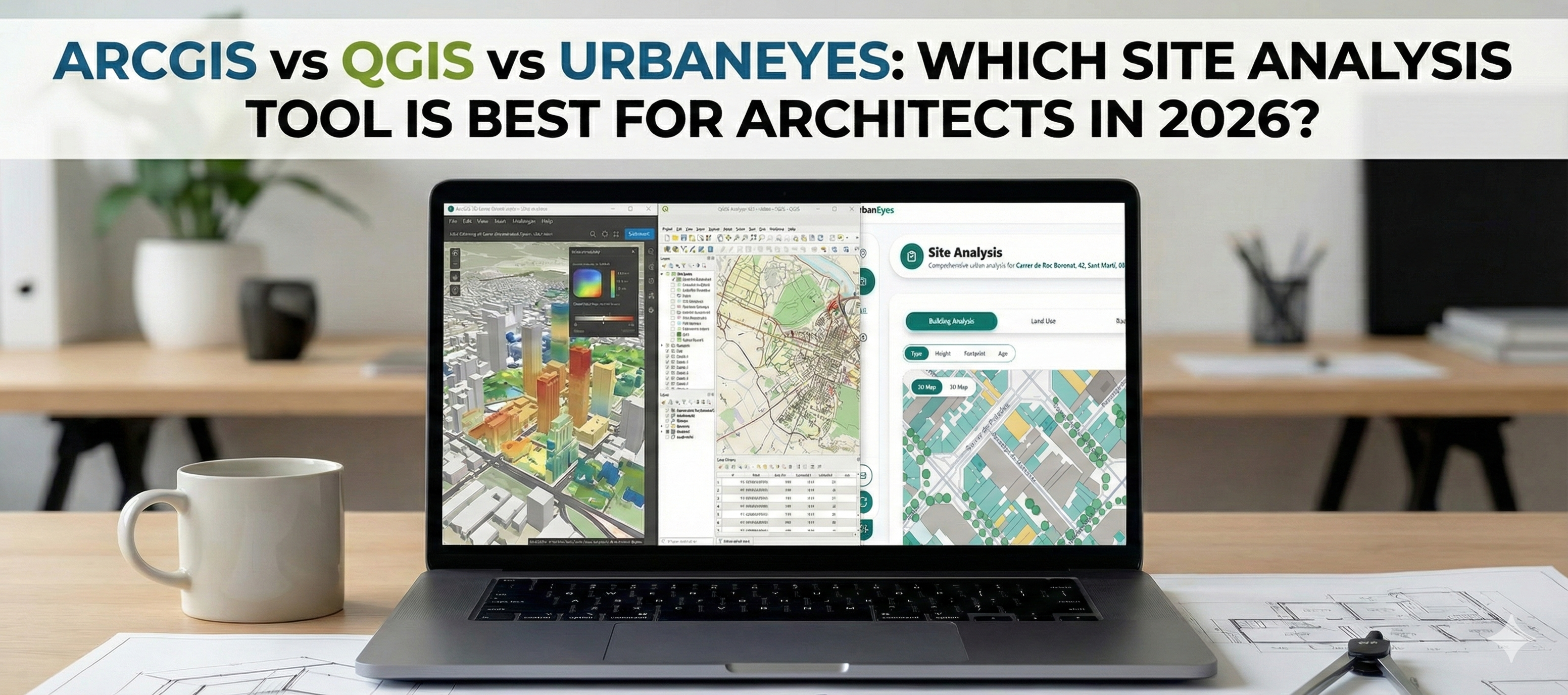 Guides
APR 2, 2026 · 11 min read
ArcGIS vs QGIS vs UrbanEyes: Best Site Analysis Tool?
ArcGIS vs QGIS vs UrbanEyes compared for architects: cost, learning curve, and which site analysis tool fits studio work vs municipal GIS in 2026.
Open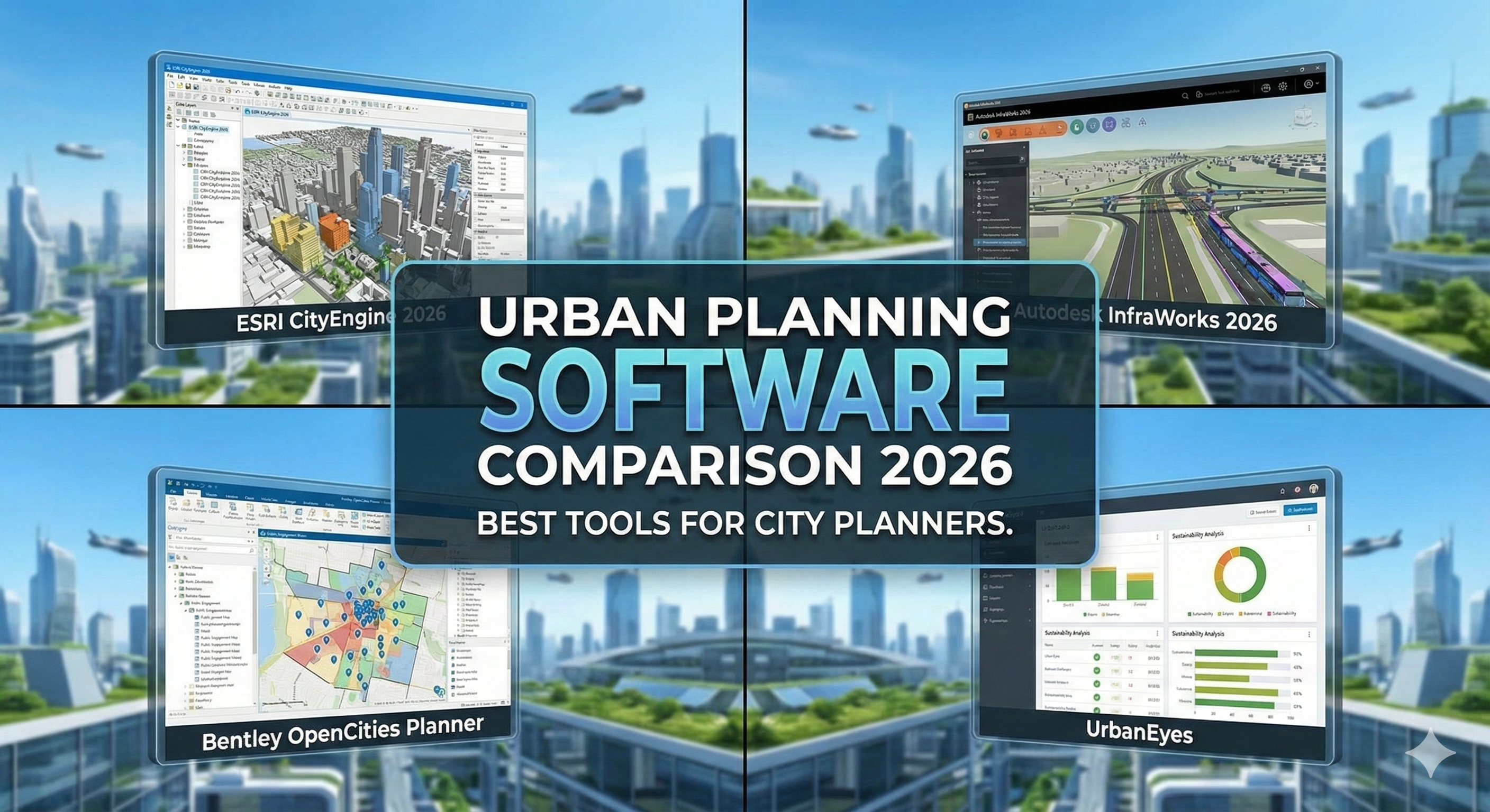 Urban Planning
MAR 25, 2026 · 14 min read
Best Urban Planning Software 2026: Complete Comparison
Side-by-side comparison of the top urban planning and site analysis tools in 2026 : ArcGIS, QGIS, UrbanEyes, and more. Ranked by speed, cost, and features.
OpenDiagramsMAR 18, 2026 · 11 min read
Site Analysis Portfolio Presentation: Complete Guide for Architecture Students
A step-by-step guide to using AI-powered site analysis for architects, urban planners, and students. Learn how to transform weeks of work into just 15 minutes.
Open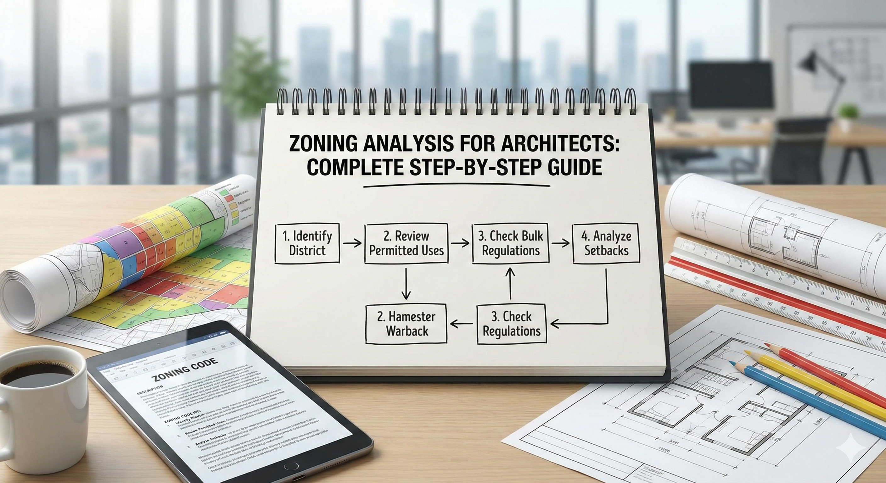 Guides
MAR 12, 2026 · 16 min read
Zoning Analysis for Architects: Complete Step-by-Step Guide
How to read and apply zoning regulations in your site analysis. Covers FAR, setbacks, height limits, and land use - with AI tools to automate the process.
Open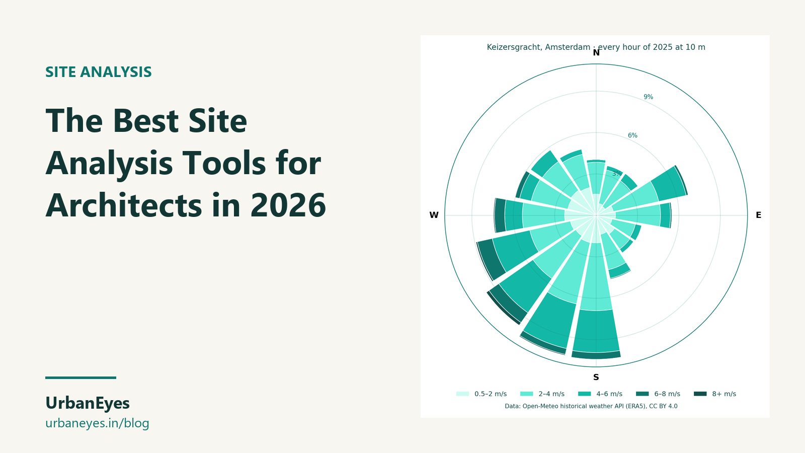 Site Analysis
DEC 14, 2025 · 8 min read
The Best Site Analysis Tools for Architects in 2026
A fair comparison of 12 site analysis tools for architects in 2026: Forma Site Design, Aino, Archistar, TestFit, Giraffe, QGIS, ArcGIS, Ladybug, Shadowmap, Google Earth Pro, UrbanEyes and more, with prices, strengths and limits.
OpenGuidesDEC 14, 2025 · 4 min read
How Firms Lose €54k/Year on Site Research (And Fix It)
Architectural firms lose an average of €600-€1,200 per project on unbillable site research tasks. Traditional workflows require 30+ hours of manual data collection across 15 different sources (GIS, weather, zoning) before a contract is even signed. UrbanEyes automates this "Pre-Design" phase, reducing a 2-week process to 15 minutes, allowing firms to recover up to €54,000 annually in lost billable time
Open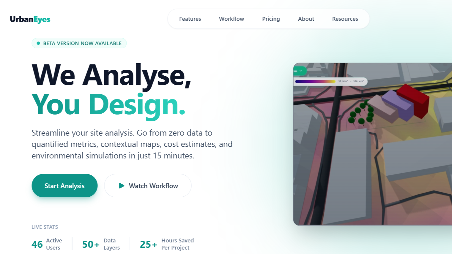 AI Tools
DEC 12, 2025 · 7 min read
How to Analyze Any Site in 15 Minutes with UrbanEyes
Step-by-step walkthrough of a full site analysis using UrbanEyes - solar, wind, density, transport, and 3D visualization. From address to report in 15 minutes.
OpenWe analyse, you design.
Run data-backed site analysis with traceable sources: maps, metrics, and reports in about 15 minutes.